Every Meat & Livestock Australia member will soon have voluntary access to monthly estimates of available feed on offer to better inform business decision making.
The planned new service roll-out, a first of its type at scale for any livestock sector in the world, is part of a major new partnership between Meat & Livestock Australia and Cibo Labs.
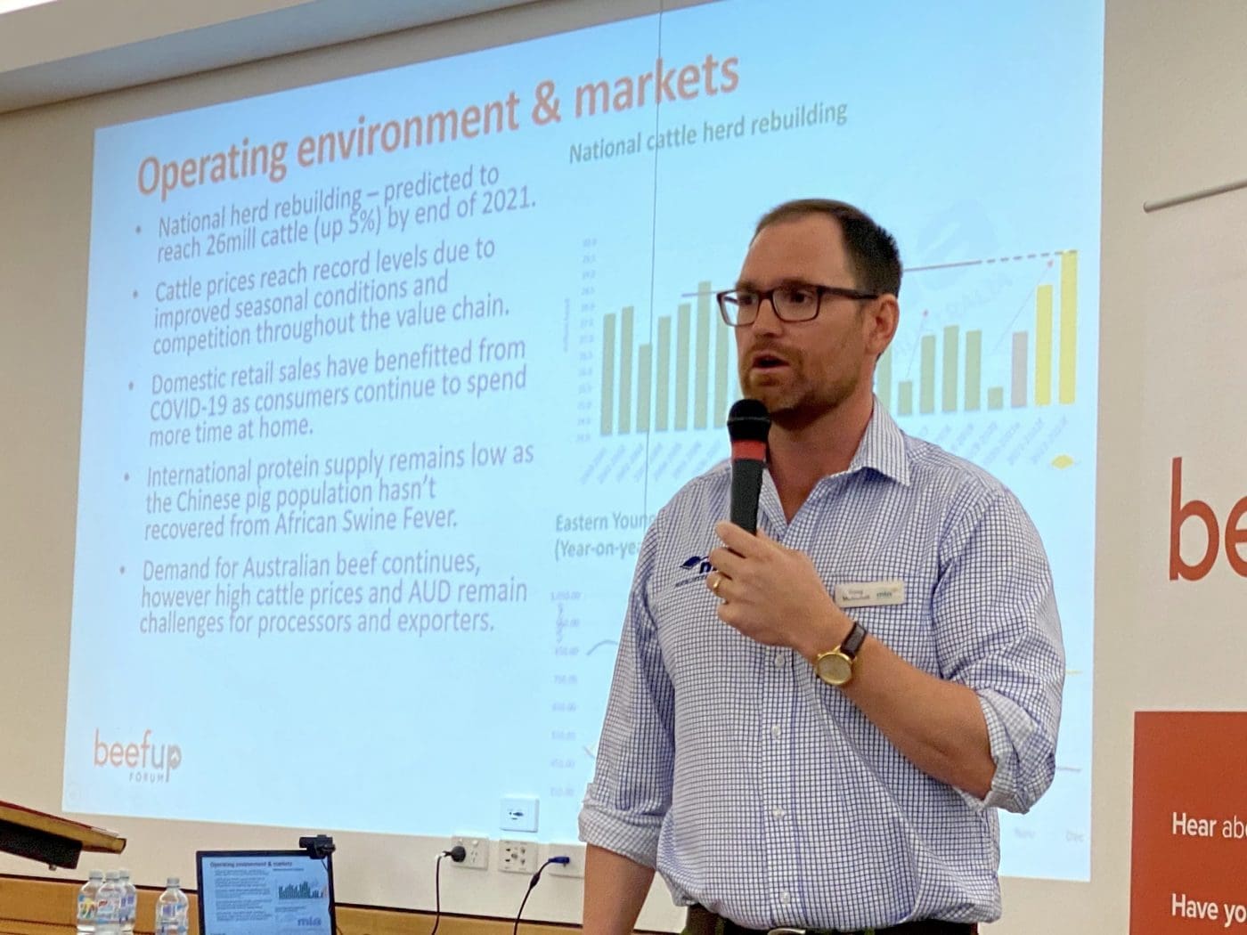
Doug McNicholl, MLA’s program manager for sustainability innovation, addresses last week’s BeefUp forum in Cloncurry.
The initiative, which is aimed at accelerating national adoption of objective measurement technology at farm level, was briefly discussed at MLA’s Beefup Forum at Cloncurry late last week.
It is understood that arrangements are being finalised ahead of a planned formal announcement in coming weeks.
MLA is partnering with satellite mapping and agricultural data analytics provider Cibo Labs to provide the service which will turn satellite data into actionable insights for producers.
Via the new partnership, levy-paying MLA members will be able to access an entry-level service including satellite imagery of their properties, and monthly estimates of feed availability.
Producers will be able to opt-in or opt-out from participating.
Objective measurement innovations have been applied to the red meat supply chain in recent years, such as sensing and scanning technology to improve the accuracy of carcase assessments.
MLA program manager – Sustainability Innovation, Doug McNicholl (right) told the Cloncurry Beefup forum that the new project will effectively bring objective measurement technology to the farm level.
MLA had been keeping track of the development of technology for estimating feed on offer for the past few years, and in May this year called for proposals from technology providers to develop a service for industry using a partnership model that leveraged matching Commonwealth Government funds via the MLA Donor Company.
It is designed to fast-track adoption of objective measurement in the paddock to take the guess work out of measuring available feed and improve decision making.
“In Australia all livestock that make their way through the production system are on grass for significant parts of life, yet the way in which we assess the availability of grass in the grazing industry is largely subjective,” he said.
“There is technology available today that can largely remove subjectivity from assessment of things like how much feed you have in your paddock.”
Mr McNicholl said Cibo Labs has developed world-leading objective technology that can help producers to assess how many kilograms of total standing dry matter they have in their paddocks, and to use that biomass data to conduct precise feed budgeting and forward planning.
“Shifting from subjective visual assessments that can have a margin of error of 100 to 200 percent into a tool that has a very high accuracy relative to human assessment and gives you much confidence to make decisions.”
Mr McNicholl said the data will potentially be made available through a platform such as “My MLA” where produces who opt-in will receive a monthly feed-on-offer assessment for their farm.
The service could also provide a national snapshot of available feed to inform industry wide planning going into or coming out of wet and dry sesasons, and be delivered alongside MLA’s existing seasonal outlook projections.
One barrier to greater uptake of ag tech innovations has been identified as the lack of a uniform national system of digital mapping.
Current digital mapping in use on Australian livestock farms originates from a range of different providers, with a wide variance in quality and cross-platform functionality.
It has been described as modern agriculture’s ‘rail gauge’ issue.
In the 19th century fledgling Australian colonies chose different gauges for their own railways. The differences in gauges became problematic as railway networks grew and trains needed to cross state lines, resulting in extensive delays as passengers and freight were transferred to another train, or train wheels were changed to accommodate the different gauge.
A uniform system of farm mapping that enables different technologies to “talk to each other” and eases integration of a wide range of specialist farm management tools can provide a platform to utilise commercially available tech such as farm management dashboards and remote sending and monitoring applications, and to help propel enterprises seeking to pursue carbon accounting and revenue generating activities along that path.
Very interested in the use of remote sensing of forage biomass in the paddock for feed budgeting…I have some basic questions…1)what are the levels of accuracy? 2)how frequently are assessments made? 3) does it have potential to estimate pasture growth, if measures are made frequently/accurate enough? 4)can small areas be measured, or is it only ok for large paddocks?
There is just one question to ask. Who exactly will have access to information and under what circumstances? Bear in mind that Qld Reef Regulations have given the government power to ask for advisor records with substantial fines for non-compliance.
Awesome! will Cibo labs also be working out 30cm carbon sequestration rates for farmers?
We are working with urth.io to achieve this but happy to look at Cibo too if they have succeeded in this algorithm?
‘QImagery’ and ‘Queensland Globe’ already give a complete overview of historical and contemporary information and aerial photos (now digitised) as well as imagery at multiple scales sourced from satellite platforms for Queensland.
Essentially all land parcels in the State can be identified/monitored if Big Brother wants to do that at any time. To the best of my knowledge all this info is freely downloadable so search for any parcel of interest by entering either of the descriptive terms listed above in your browser – if you are not already a user of these tools.
My perspective would be to try the MLA/Cibo Labs product out when it becomes available. My initial take is that it would be a very clever product if it can tell you how much pasture is in your paddock on a particular day – especially in grazed woodland communities. It would be even more clever if it can advise you of the quality of that feed. [Note: This is attempting to answer a very different question which might ask – what is the potential pasture yield my paddock can produce?].
Speaking of ‘spies in the sky’ – it is very likely that before too long governments will avail themselves of accurate and precise estimates of how much carbon dioxide is being either released or absorbed by your landscape (= net emissions). NASA’s Orbiting Carbon Observatory – 2 (OCO-2) has a footprint of approx. 290 ha and a 16 day revisit cycle. As with all these satellite measurements/recordings the landholder has no idea when his/her information is captured.
There is a big difference between ‘grass’ and ‘feed’. Will this technology be able to differentiate between the two? If not, there is scope for this to go horribly wrong.
I think there needs to be some serious governance over how and if merged data is/ isn’t used. Keep asking questions on this one Beef Central.
This technology has the potential to eliminate the anomalies/inquities inherent in the current dividing lines drawn on LGA maps by State governments in determining declaration of drought and nondrought declared areas.
While some landtypes may find this of use I would like to see what “biomass” is actually comprised of? Grass alone? Trees? Shrubs? How will this technology be of benefit in ecosystems with scrub/shrubbery and underlying grass. Eg Savanna Forests?
We’ll seek a response and post it here, Carina. Editor