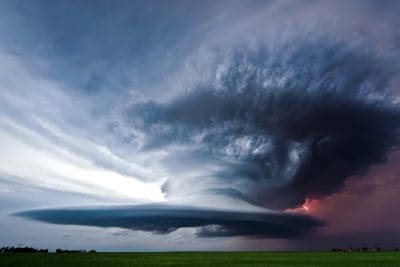
The Bureau of Meteorology has released its Severe Weather Outlook for October to April, showing an increased risk of flooding for eastern Australia and tropical cyclones in the north, with roughly average potential for heatwaves and severe thunderstorms.
La Niña also suggests an earlier than normal arrival for the first rains of this year’s northern wet season and an earlier monsoon onset for Darwin.
Related article: Nah, yeah, nah, yeah – how farmers talk about the weather!!
“La Niña also brings more rain and increased humidity, which can mean fewer extreme heat days. But while heatwaves may not be as severe, the Bureau’s advice is that in southern areas they may last longer and be more humid – both of which can increase the risk to human health. Be sure to monitor the Bureau’s heatwave service, which provides information about the location and severity of heatwaves.”
REGIONAL SNAPSHOTS
- La Niña is likely to bring more rain than usual, with an increased risk of widespread flooding
- Likely to see more tropical lows and cyclones than normal
- Earlier start to the wet season across the north
- Average numbers of severe thunderstorms
NORTHERN TERRITORY
- La Niña is likely to bring more (and earlier) rain than usual
- La Niña typically means earlier onset of the monsoon, higher likelihood for more tropical lows and cyclones than usual
WESTERN AUSTRALIA
- La Niña’s impacts are not as marked in northern WA as they are in eastern Australia
- Expect an earlier onset of the monsoon and increased risk of a pre-Christmas tropical cyclone off northwest WA
- Increased risk of widespread flooding in the north
- A dry spring could increase fire potential in the south
SOUTH AUSTRALIA
- More grass growth in spring could raise the risk of grass fires in summer
- During La Niña, heatwaves may last longer and be more humid, though there may be fewer days of extreme heat compared an average season
- La Niña is likely to bring more rain than usual through what is usually a very dry period in SA
TASMANIA
- Normal bushfire potential, but more grass could provide more fuel in summer
- Extreme heat days are more likely every season, due to the impacts of climate change
- La Niña is likely to bring an increased risk of widespread flooding for eastern Tasmania
VICTORIA
- Increased risk of widespread flooding
- Fewer extreme heat days but heatwaves may last longer and be more humid
- Long running bushfires are less likely, but more grass could provide more fuel in summer
NEW SOUTH WALES
- La Niña is likely to bring more rain than usual with an increased risk of widespread flooding
- Heatwaves could be more humid and last for longer, especially in southern NSW
- Normal bushfire potential, but more grass could provide more fuel in summer
AUSTRALIAN CAPITAL TERRITORY
- La Niña is likely to bring more rain than usual with an increased risk of flooding
- The ACT has normal bushfire potential, but people in rural areas and on the urban edge of Canberra are advised to plan for the potential of fast-moving grassfires
Source: Bureau of Meteorology

