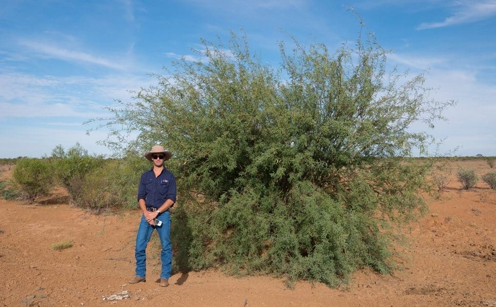
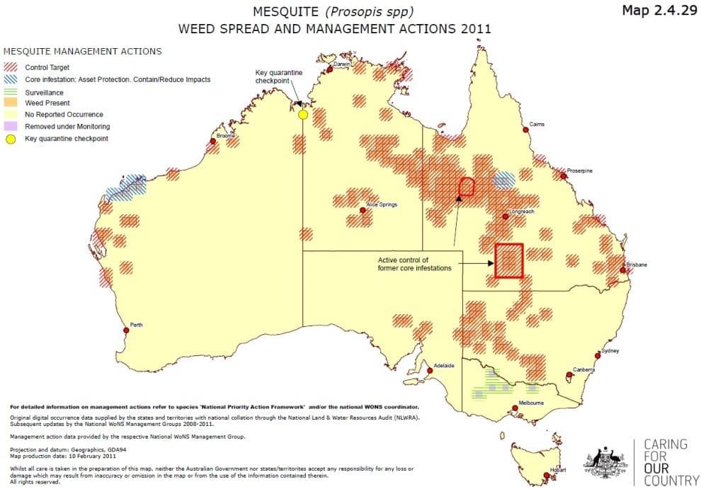
THE NSW Government’s Local Land Services Western Region is trialling an innovative new technique to map infestations of one of the most aggressive weeds in western regions of NSW, Queensland and the Northern Territory – mesquite.
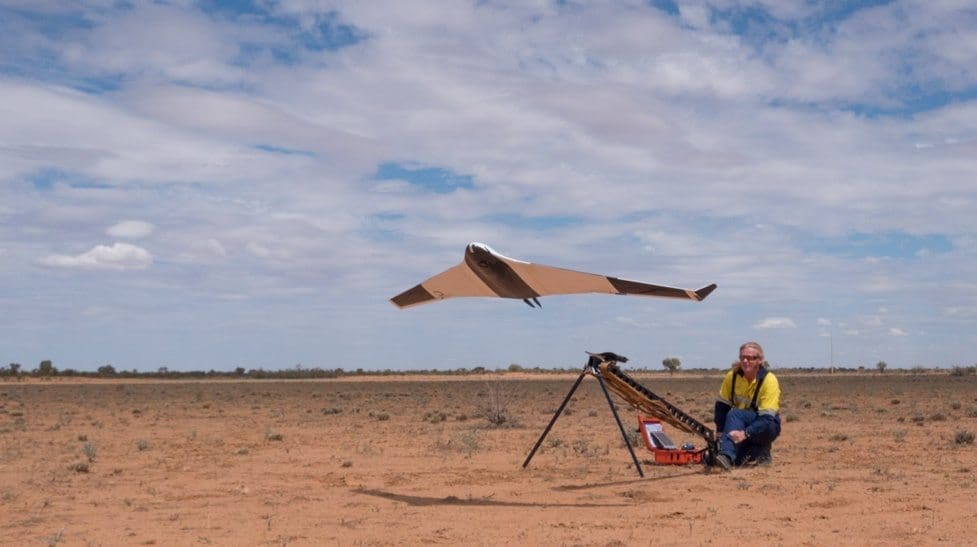
The trial is being carried out at a site north of Broken Hill and involves the capture of high resolution, geo-referenced imagery using a fixed-wing drone.
This imagery will be analysed by the University of Sydney using specialist software to determine if plants can be identified.
Senior Land Services Officer, Mitchell Plumbe said it’s challenging to identify the location of weeds like mesquite in remote western regions using current methods due to the large expanses of land and the difficulty of accessing some areas.
“This results in target plants invariably escaping treatment and greatly increases treatment costs as large areas must be searched to find and treat weed plants,” Mr Plumbe said.
“The use of a drone will overcome these access and scale issues.”
If the method is successful and cost effective, landholders will be able to better target their weed control activities, which will significantly reduce the labour costs for treatment.”
This trial builds on work undertaken by the Australian Centre for Field Robotics at the University of Sydney, where algorithms were developed to identify mesquite from other vegetation and provide a map of its distribution.
Recent seasons have resulted in extensive germination events for mesquite.
“It poses a great risk to both biodiversity and production, having plagued graziers and land managers in affected areas for more than 50 years.”
Results from the trial are expected to be received by mid-year.


