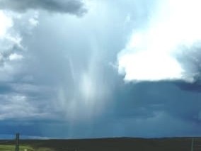
 The La Nina weather pattern that delivered record wet weather and ended years of drought across eastern and northern Australia last summer has returned.
The US National Weather Service’s Climate Prediction Centre has announced that a La Nina pattern has re-emerged in the tropical Pacific Ocean and should strengthen into the Southern Hemisphere summer.
Australia’s Bureau of Meteorology which measures weather conditions slightly differently, has not yet called a return to full-scale La Nina, but in its most recent ENSO statement said conditions were trending towards a new La Nina.
Climatology professor Roger Stone told Beef Central yesterday that he agreed with the forecast by the US Climate Prediction Centre, which he said was considered one of the world’s most respected authorities on forecasting El Nino and La Nina weather patterns.
“The sub-surface in the Pacific has been heading this way for some months now and has all the initial signs of a La Nina once again,” Dr Stone said.
La Nina patterns are associated with increased probability of wetter conditions and cooler temperatures in Australia.
The climate phenomenon is marked by cooler than normal waters and low air-surface pressure in the western Pacific.
While the development of a La Nina is generally greeted as positive news for Australian agriculture, news of its return will bring little joy to US cattle producers and grain farmers currently struggling with severe drought.
In contrast to eastern and northern Australia, a La Nina generally leads to drier than normal conditions and hotter temperatures across the southern tier of the US.
“This means drought is likely to continue in the drought-stricken states of Texas, Oklahoma and New Mexico,” US Climate Prediction Centre deputy director Mike Halpert said.
“La Nina also brings colder winters to the Pacific Northwest and the northern Plains, and warmer temperatures to the southern states.”
The Bureau of Meteorology is due to release its next ENSO forecast tomorrow.
