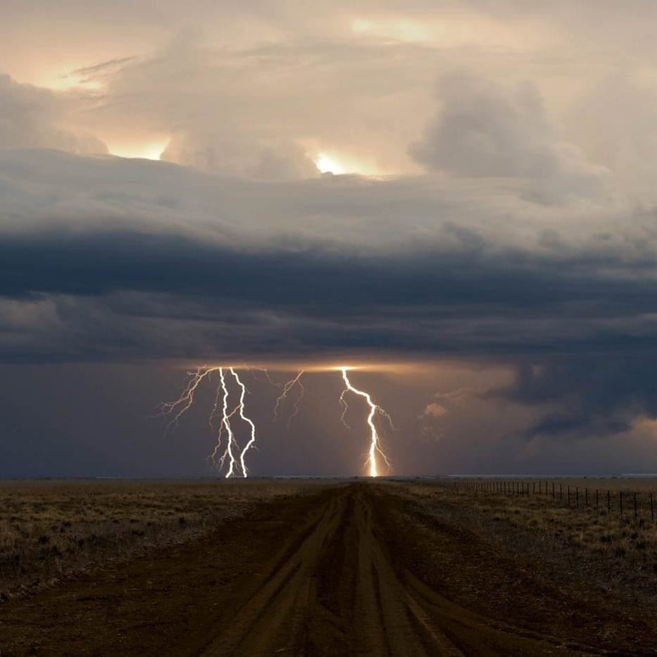
 More rain in the next two days across wide tracts of country already saturated by a week of wet weather is set to exacerbate flood levels across Queensland and northern New South Wales.
Flood warnings are in place for than 20 river systems across both states, but forecast falls of up to 50-100mm are set to further increase river heights today and tomorrow.
Behind the expected deluge is a slow moving low-pressure trough, stretching from the Gulf of Carpentaria to the central coast of NSW.
Chief meteorologist with the Weather Channel Dick Whitaker said the system will generate rain and thunderstorms across its coverage area today and tomorrow before weakening on the weekend.
Heavy falls were recorded in the Maranoa and Warrego districts of South Western Queensland yesterday.
In New South Wales, falls in excess of 100mm caused flash flooding and several evacuations in Narrabri.
Residents at hundreds of properties in Moree, Barraba, Taree and the Wingham Peninsula have been warned to prepare for possible evacuations today, while severe weather warnings remain in place for the Mid North Coast, the Illawarra, the Central West and Central Tablelands.
In Western Australia, residents are on alert as Tropical Cyclone Iggy moves towards an expected landfall early tomorrow morning.
At 6am Iggy was located 400km west of Geraldton on the WA coast. It had weakened to a category one and was expected to weaken below tropical cyclone intensity before reaching the coast early on Friday.
“It is not expected to cause gales, but could contribute to strong winds, hazardous fire weather conditions, thunderstorms and rain in parts of the Southwest Land Division,” the Weather Channel said.
'Hit and miss' storms
 While numerous large totals have been recorded in inland areas, the falls have occurred in a hit-and-miss fashion with vastly different totals being recorded from property to property, and even boundary to boundary.
Beechal south east of Quilpie, owned by Joy and Rob Worsnop, received its entire annual rainfall average of 350mm (14 inches) in a 10-day period through until last Saturday night.
The deluge included 181mm (724 points) last Friday night followed by another 100mm (400pts) on Saturday night. The inundation was so sudden and forceful it caused floodwater to enter the Beechal homestead for what is understood to be the first time in its history.
While Beechal’s total over 10 days was 362.5mm (1450 points), neighbours less than 15km away recorded 150mm and 100mm over the same period.
“We seem to be at the top end of what I have heard around here, because you don’t have to go very far west and they’re back around an inch even,” Mr Worsnop said.
“We must have just got under a couple of thunderstorms.”
The Worsnops also have cattle breeding and farming country west of Condobolin in NSW, and moved to Quilpie 14 months ago after buying Beechal.
Despite the headaches caused by flooding to their house and some likely damage to fencing, which they have not yet been able to move around to assess, the net result of the heavy rain was still positive, Mr Worsnop said .
“This country will go mad for the next couple of months,” he said. “Feedwise that will set us up right through until the end of winter, unless we get really stinking hot weather.”
The Worsnops run a breeding herd on Beechal containing a mixture of Murray Grey and Droughtmaster/Brahman cross females, they they use to breed calves for turn-off through the Dalby saleyards.
“The cost of freight out here is out biggest problem, we have to send them out in four decks at a time to make it economical freight wise.”
Slow moving floodwater
Tony Lilburne at Grant Daniel Long in Quilpie agreed that measured totals varied significantly throughout the district. West of Quilpie a number of properties had received ideal rain of 50mm-75mm, while further west properties at Windorah were still looking for rain.
An unusual aspect of the current season was the slow movement of floodwaters this year, he said.
“Water is two days behind where it should be,” he said.
“It would be all the grass just holding the water up, it would have to be. Whereas with the previous year’s floods, there has been no grass and it just races away.”
Rainfall outlooks can be viewed in Beef Central's weather pages here