THE Australian Beef Sustainability Framework (ABSF) has today launched an interactive vegetation mapping and reporting tool, which it says is designed to provide the industry and public with the best available national data on the Balance of Tree and Grass Cover.
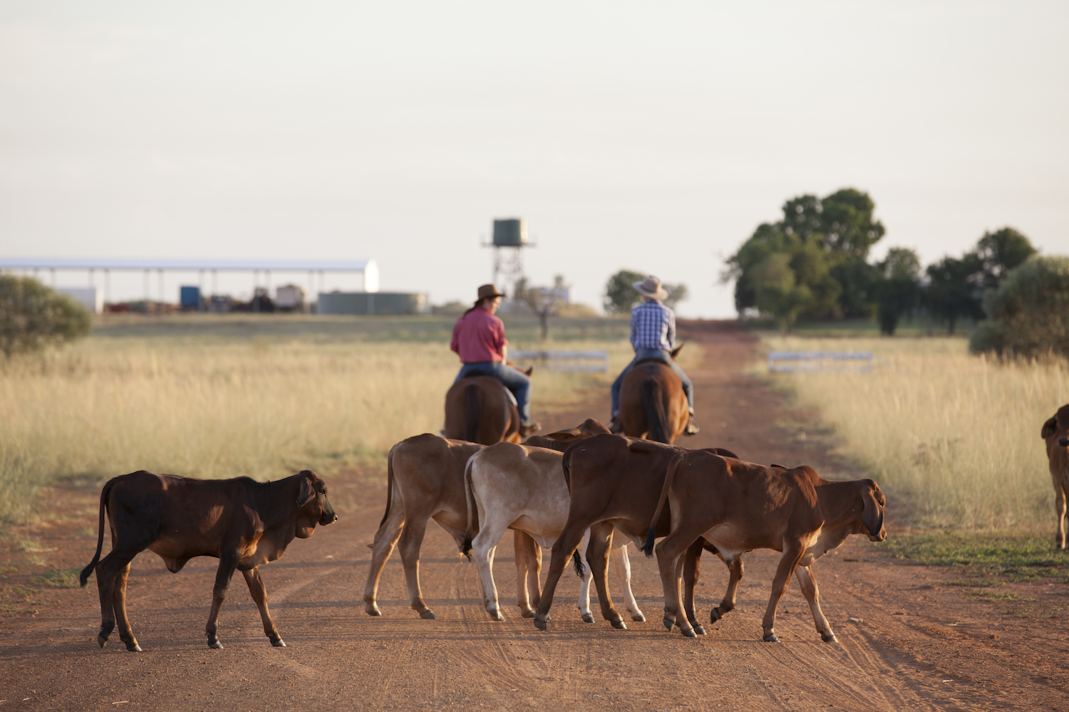
Picture: Australian Beef Sustainability Framework.
In a media release issued this afternoon the ABSF said the tool provides users with the ability to analyse trends in tree and grass cover across the entire continent on an annual and seasonal basis using over 30 years of satellite imagery.
Chair of the Sustainability Steering Group which drives the ABSF, Tess Herbert, said the new mapping tool and agile reporting system was a direct result of extensive consultation with scientists and industry and would improve transparency and accessibility of information.
“The Australian beef industry now has direct access to the same information that regulators and governments have on vegetation management and can use the data to help drive improvements in environmental management,” Ms Herbert said.
“Having access to the best available national satellite imagery products will enable the Framework to better track and measure the impact that the beef industry has on vegetation and create a science-based measure to help separate fact from fiction in ongoing debates.
“The new interactive mapping tool also enables industry and the public to analyse trends in woody vegetation and groundcover change and generate maps and reports for states, catchments, NRM Regions, local government areas and other statistical and administrative boundaries.”
The ABSF contracted Cibo Labs, an agricultural data science company which specialises in the analysis of satellite imagery and remote sensing and delivering products to industry.
“Cibo Labs were involved in the expert working group to develop the indicators and data products to monitor the balance of tree and grass cover on grazing properties. We have now developed a world-leading platform that allows industry and stakeholders to access the best available national data, and also simple tools to analyse the data at scales relevant to them in a secure and trusted environment,” said Phil Tickle of Cibo Labs.
This data analytics framework involved:
- Integrating over 30 years of satellite data products identifying annual trends in woody vegetation and seasonal trends in ground cover and development of a simple online mapping system to view and analyse the data.
- Creation of a national rural properties database covering an area of 5.5 million sq km (70% of Australia) and over 550,000 individual properties on land use categories where grazing may occur.
- Analysing trends in woody vegetation and groundcover for every land parcel greater than 1ha and creation of a database and online tool that allows on-demand aggregation of data for states, NRM Regions, biographic regions, catchments, local government areas and other administrative and statistical areas.
- Developing a flexible platform that can easily be extended for other agricultural sectors and improved over time as data becomes available.
“The Australian beef industry plays a major role in landscape management. This dashboard shows the scientific truth that vegetation on agricultural land is increasing, and producers are skilled at land stewardship and committed to sustainability, and making a positive contribution towards actions against climate change,” Ms Herbert said.
Source: ASBF. The new website can be viewed at https://www.sustainableaustralianbeef.com.au/